|


| |
Area Views
| This is a
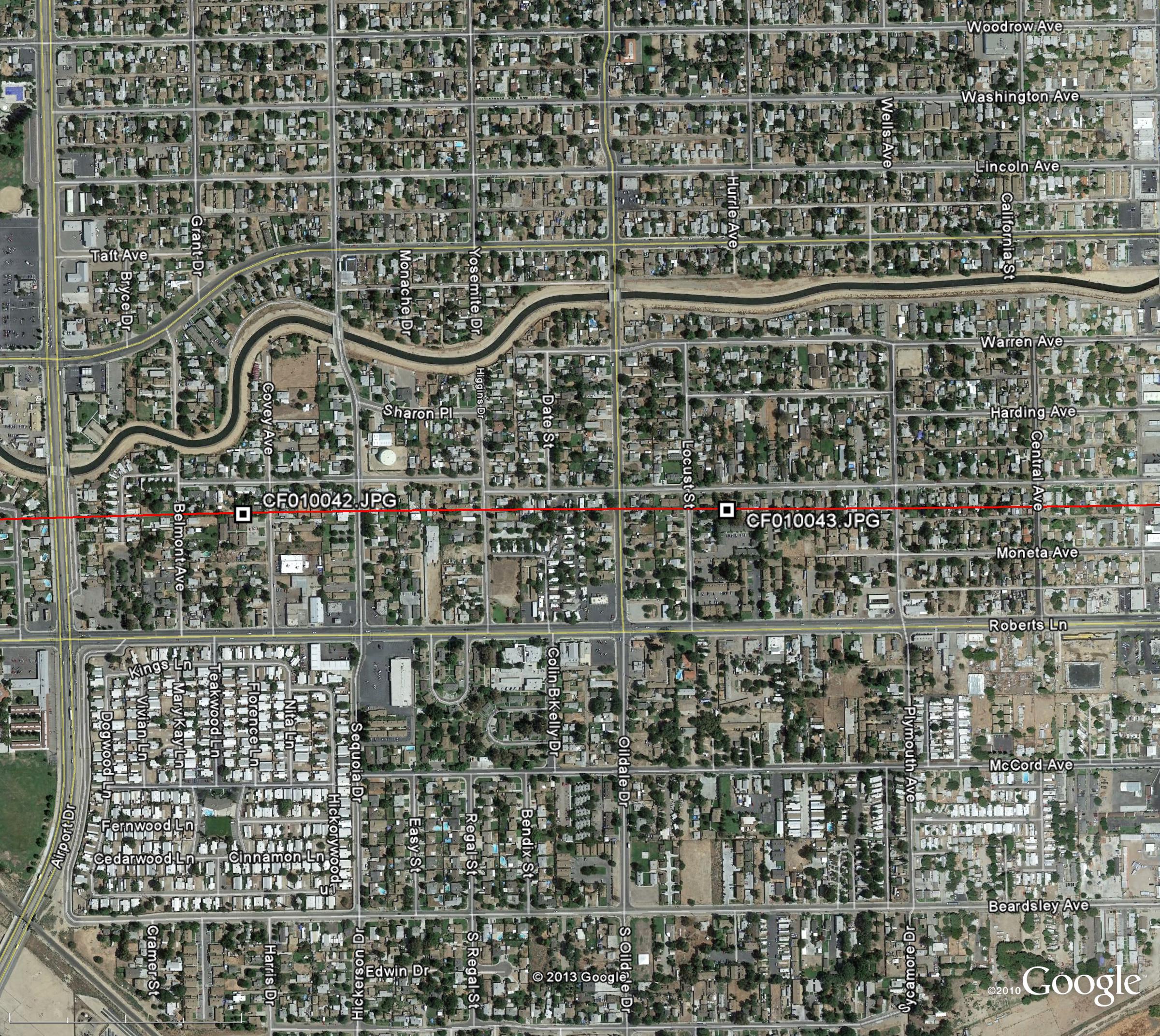
Google Earth screenshot with red superimposed flight path. This
low-resolution image was taken several years before our survey image was
taken and has approximately 39" (1 meter) pixel resolution. Water sources
cannot be targeted from this type of image because of its large pixel size -
there is simply not enough detail and the image is too old. The white dot in
the center is the location from which our image was acquired. |

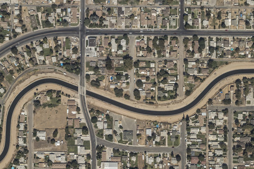
| This is a thumbnail of actual survey image. The image aspect
ratio is 3:2 and the image was acquired with a 80 megapixel, full-frame digital
sensor. The sensor, combined with our state-of-the-art camera control system,
allows us to take sharp, well-exposed, and precisely-timed aerial images. This
photograph was taken from 5,000 feet and the pixel size is approximately 3.8".
This small pixel size allows us to see objects as small as 4" in the full-size
image. Being able to see pool sweeps, debris, and particulate matter means we
can quickly and accurately ascertain the quality of a pool's contents. |

| Click on the above image to see a condensed version, the full-size version is over 50MB. Warning,
this is a large 19MB file! See the
Image Detail and
Sample Detail Image pages for full-resolution samples. |
|