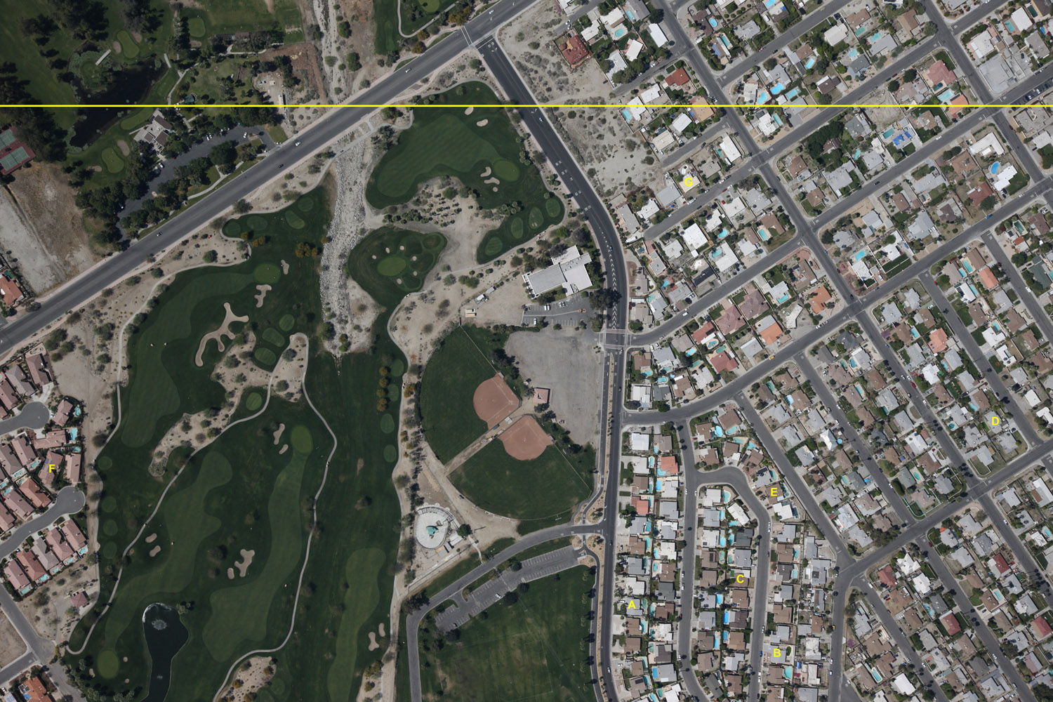
The following image was taken in Palm Springs, California. It is one of our
standard high-resolution images taken from 5,000 feet AGL. Pixel size is just
under 8 inches. This image has been processed by our analysts; each letter
represents one pool target. The yellow line across the top denotes the overlap
between this image and the next image on this track. In short, everything above
the line is contained in the next image.Palm Springs, California:

Click on the image to download the original (Warning - this is a 10MB
file!).
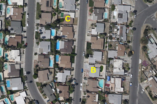
Next is a snippet from the above picture showing our single-pool targeting
view. This is the same snippet that is placed on the
technician reports and is viewable in our Google Earth pool plot KML.

Click to view full-size snippet - the full version is twice the size shown
above.